Find Prince William County Property Records
Prince William County property records are kept by the Circuit Court Clerk, who is the official recorder of deeds, deeds of trust, plats, liens, and other land instruments for all real property in the county. The clerk's office in Prince William handles both in-person requests and mail submissions. For assessment data, the Real Estate Assessor at 4379 Ridgewood Center Drive offers ownership records and sales information. Online tools include the County Mapper GIS portal, the QuickInfo lookup tool, and an open parcel ownership dataset. Whether you need a recorded deed or current assessment data, this page covers your main search options.
Prince William County Property Records
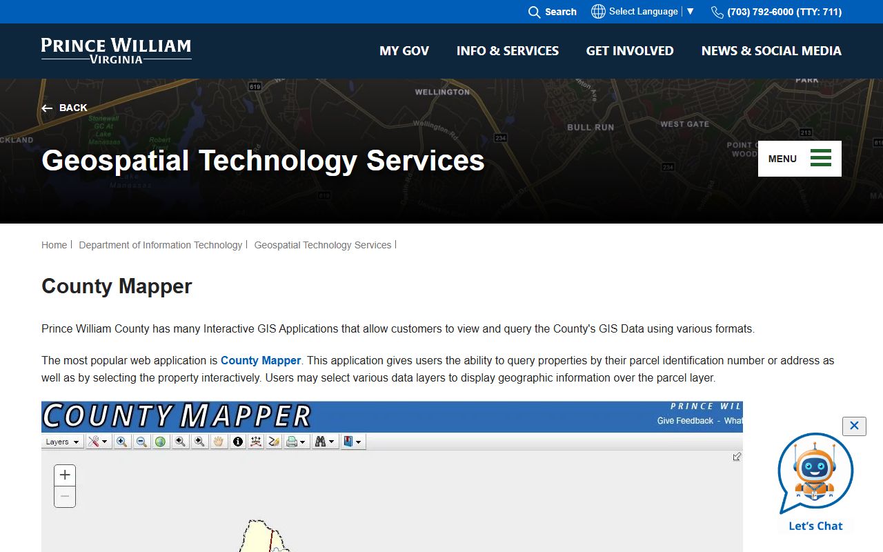
County Mapper GIS Application
Prince William County offers several interactive GIS applications. The most widely used is County Mapper. This application gives users the ability to query properties by parcel identification number or address, and also lets you select a property directly on the map.
County Mapper is the current online GIS property viewer. It has additional functionality over prior versions, including improvements to the user interface, a Help tab in the side panel, and the ability to toggle multiple data layers over the parcel layer.
Open County Mapper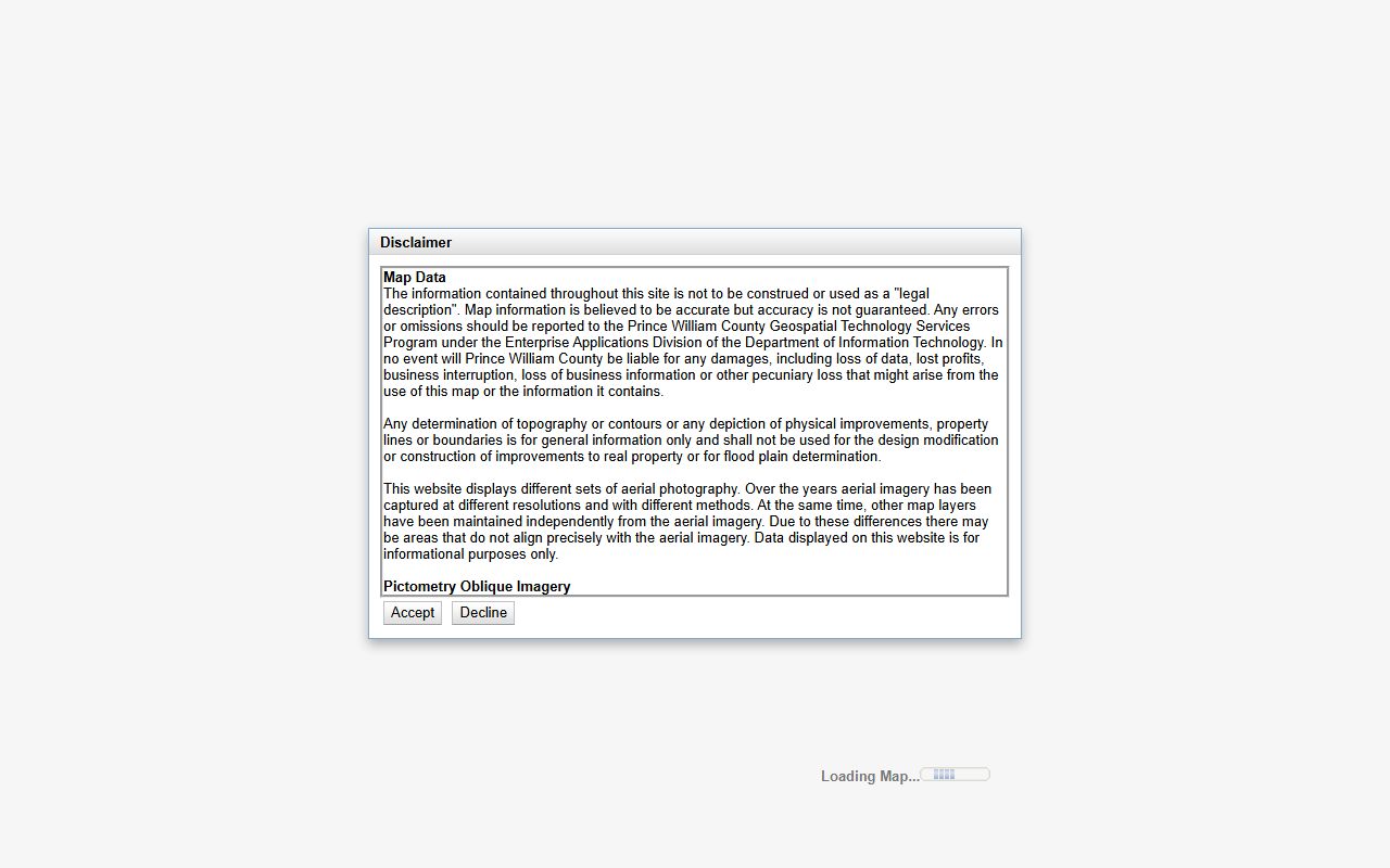
County Mapper is Prince William County's primary GIS tool, offering parcel queries, aerial imagery, and data layer overlays for property research.
The application uses aerial photography captured over multiple years at different resolutions. Because data sources vary, property boundaries may not align exactly with aerial imagery in all areas. Older data sources may be especially affected.
County Mapper uses internet cookies to save personal settings, including the MyMap feature. Users who do not accept cookies or clear their cache frequently will not be able to use the MyMap feature. The application works best with Chrome, Internet Explorer 10.0 or higher, and Mozilla Firefox.
The information on County Mapper is not to be construed as a legal description. Map data is believed to be accurate but accuracy is not guaranteed. Any errors or omissions should be reported to the Prince William County Geospatial Technology Services Program under the Enterprise Applications Division of the Department of Information Technology.
QuickInfo Property Lookup Tool
For users who need basic property data fast, Prince William County offers the QuickInfo application. This lightweight tool provides rapid access to property and address-based information without requiring the full County Mapper interface.
Information available through QuickInfo includes ownership, deeded acreage, and zoning classifications and acreage. It is designed for users who need one or two key facts about a parcel rather than full GIS analytics.
Use the QuickInfo Tool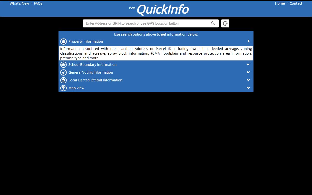
The QuickInfo tool provides fast parcel lookups by address or parcel ID for Prince William County property researchers.
QuickInfo is maintained by the County's Enterprise Applications Division under the Department of Information Technology. It serves as the go-to option when you need ownership or zoning data in seconds. The tool links to County Mapper for users who want to explore further.
Open Parcel Ownership Data
Prince William County publishes its parcel ownership data through an open data portal. The Parcel Ownership Table is updated nightly, meaning that ownership changes recorded by the Real Estate Assessor are reflected in the GIS system on a daily basis. This makes it one of the most current public datasets available for this county.
Attributes in the dataset include parcel identification number, current owner name, mailing address, and other assessment-related fields. The open data portal lets users download the raw data in multiple formats including CSV, Shapefile, GeoJSON, and KML for offline analysis.
Download the Parcel Ownership Dataset
The Parcel Ownership Table on the county's open data portal is updated nightly and available for download in multiple formats.
This dataset is part of the County Lands group within the Prince William County open data catalog. It is intended for informational and research purposes. For legally binding ownership information, always refer to recorded deeds at the Circuit Court Clerk's office.
Real Estate Assessor and Tax Records
The Real Estate Assessor's office handles property assessments for all parcels in Prince William County. You can search property tax and assessment records including sales history and parcel history by owner name or address. The county also maintains commercial and industrial real estate search tools covering available properties by type, size, and location.
Assessor's office: 4379 Ridgewood Center Drive, Suite 203, Prince William, VA 22192
Phone: (703) 792-6780
The County Mapper overview page on the Prince William County website explains available GIS applications and how to use them for property research.
Both residential and commercial property search portals are maintained in addition to the GIS mapping systems. Sales search and parcel history functions let users trace ownership changes and market transactions over time. This is useful for appraisers, attorneys, and real estate professionals doing market analysis.
Under Title 55.1 of the Code of Virginia, all real property in Virginia must be assessed at 100% of fair market value. Annual assessments in Prince William County are conducted by the Real Estate Assessor based on market conditions as of January 1st of each year.
Circuit Court Land Records
Deeds, deeds of trust, plats, and other land records for Prince William County are recorded with the Circuit Court Clerk. These are the official legal records of property ownership, encumbrances, and conveyances. They are the authoritative source for determining legal acreage and ownership, as the GIS data portals themselves note in their disclaimers.
The Circuit Court Clerk's office serves the county as well as the independent cities of Manassas and Manassas Park. Virginia's Secure Remote Access (SRA) system allows subscribers to search indexed court records online. This can save time for title researchers and attorneys who need to review deed indexes without visiting the courthouse in person.
Recording fees for land documents are set by state law under Title 55.1. The Clerk's office can provide copies of recorded documents for a per-page fee. Certified copies cost more and are needed for legal proceedings.
Tax Rates and Assessment Process
Prince William County's real estate tax rate is set annually by the Board of County Supervisors and applies per $100 of assessed value. The Board typically sets the rate during the spring budget process. Property owners can find the current rate on the county's tax information pages.
Assessments are based on fair market value as of January 1st. The Real Estate Assessor reviews sales of comparable properties in each neighborhood and uses standard appraisal methods to arrive at assessed values. Owners who disagree with their assessment may appeal first to the assessor's office, then to the Board of Equalization.
Any determination of topography, contours, physical improvements, property lines, or boundaries shown in County Mapper or other GIS tools is for general information only. These should not be used for the design, modification, or construction of improvements to real property or for flood plain determination. Always consult a licensed surveyor for those purposes.